Mile High Club #
Done in Mid-August 2020.
A climb I discovered on Mountain Project to do while I was in the area on a camping trip.
We started the day a bit after 8, taking a quick sub-30 minute drive to get to the trailhead from our camp site. The road down to the Sunrise Mine trailhead was a bit rough in places, with at least a single large washout that I was impressed our large van could handle - the clearance was better that I thought! Our hike down the trailhead started around 8:30ish, after a quick banana/peanut butter breakfast.
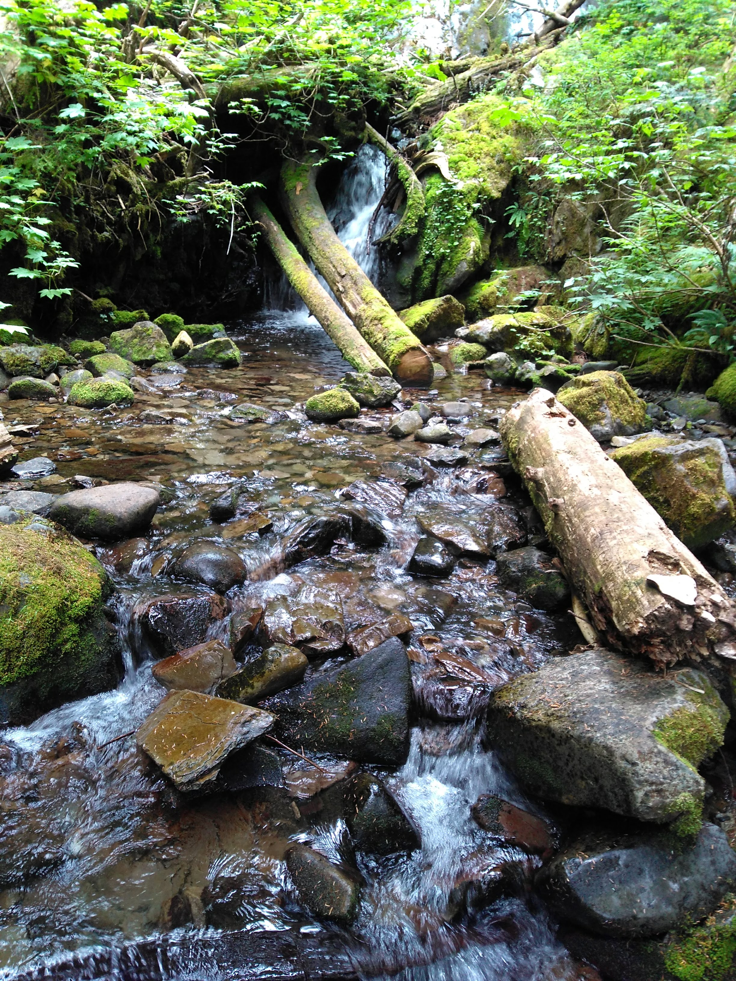
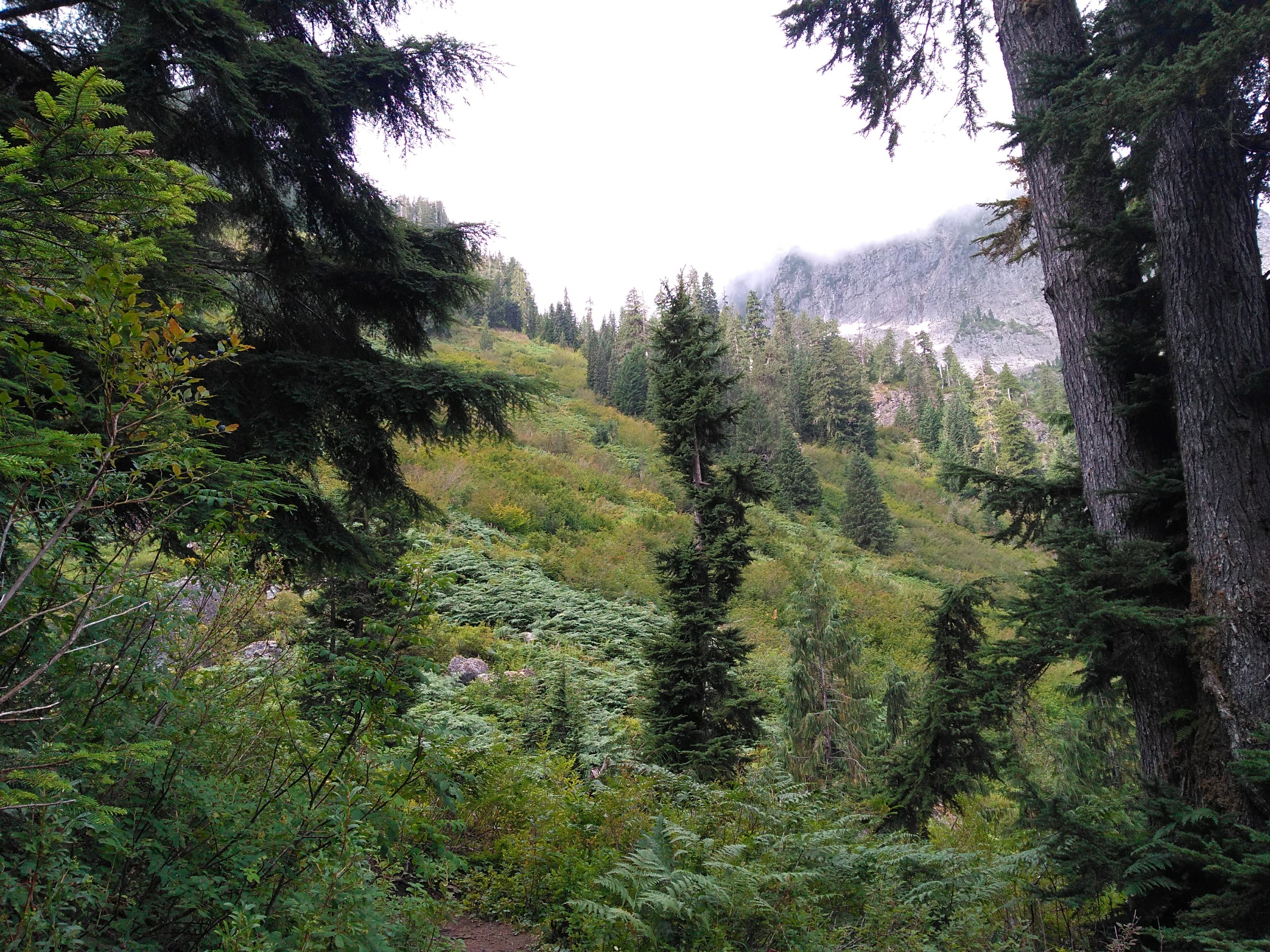
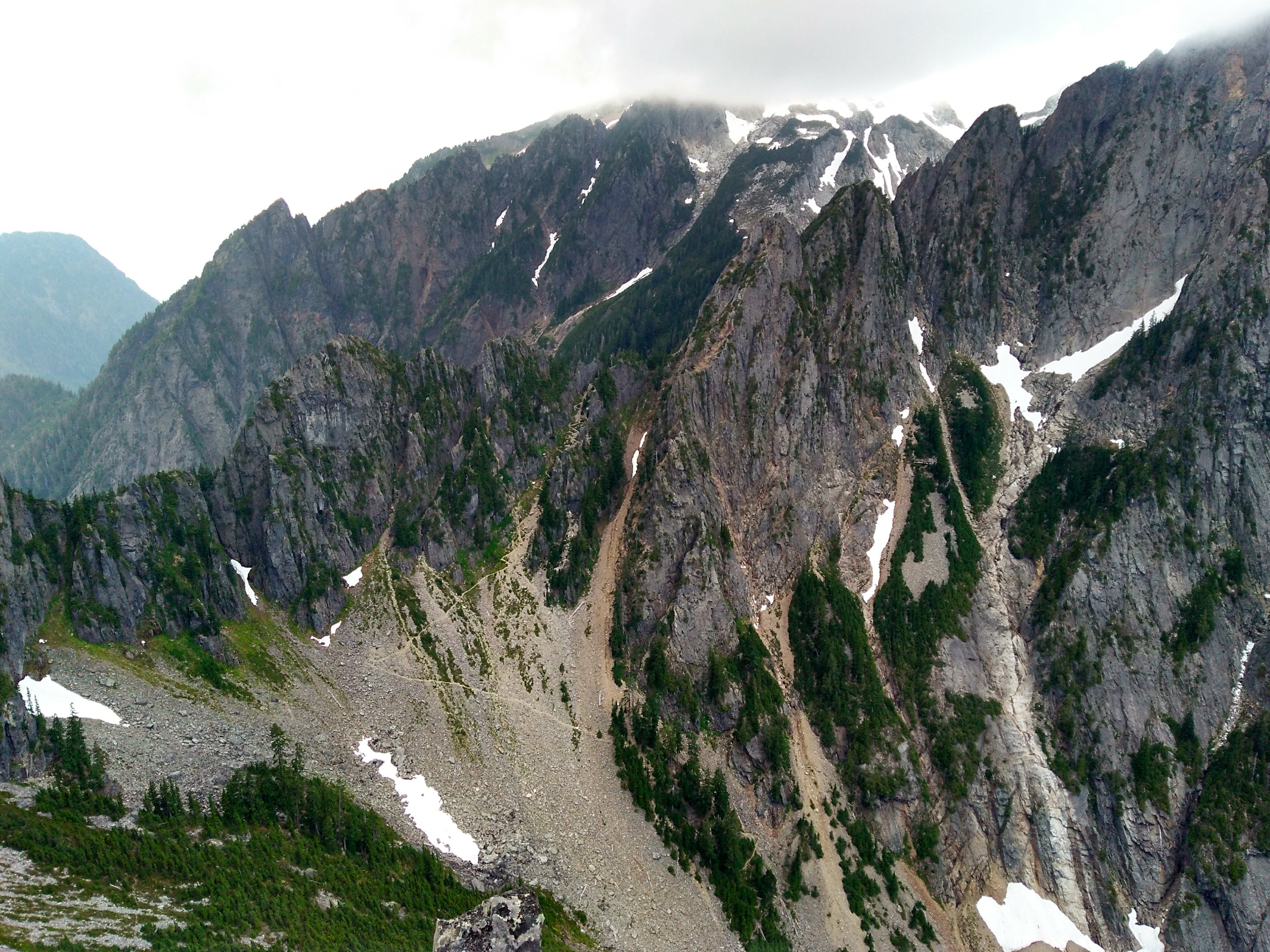
The hike in was really pretty, with 3-4 stream/river crossings and some amazing mountain views as the trees thinned. Pardon the mediocre image quality : ).
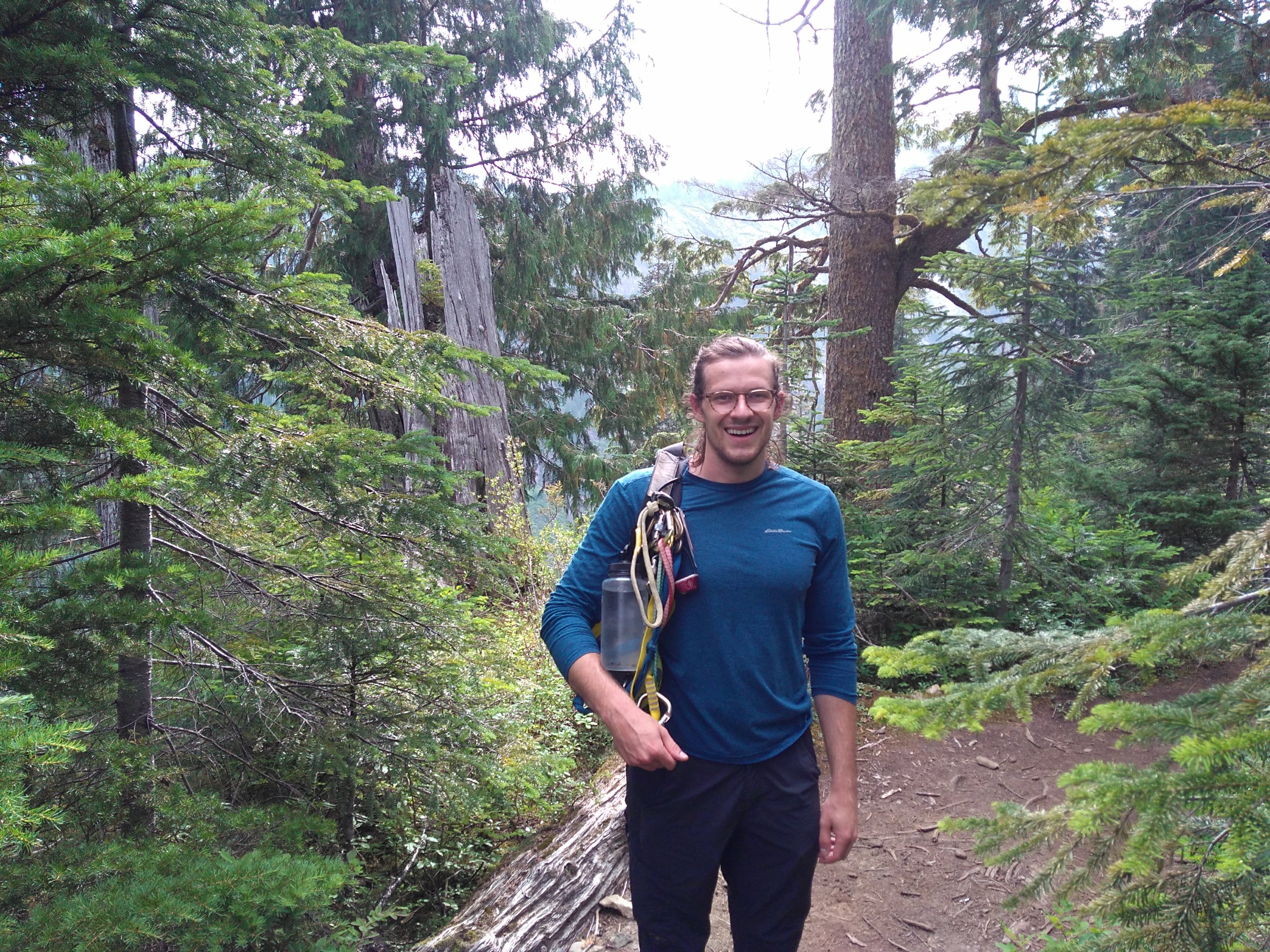 Matthew on the trail
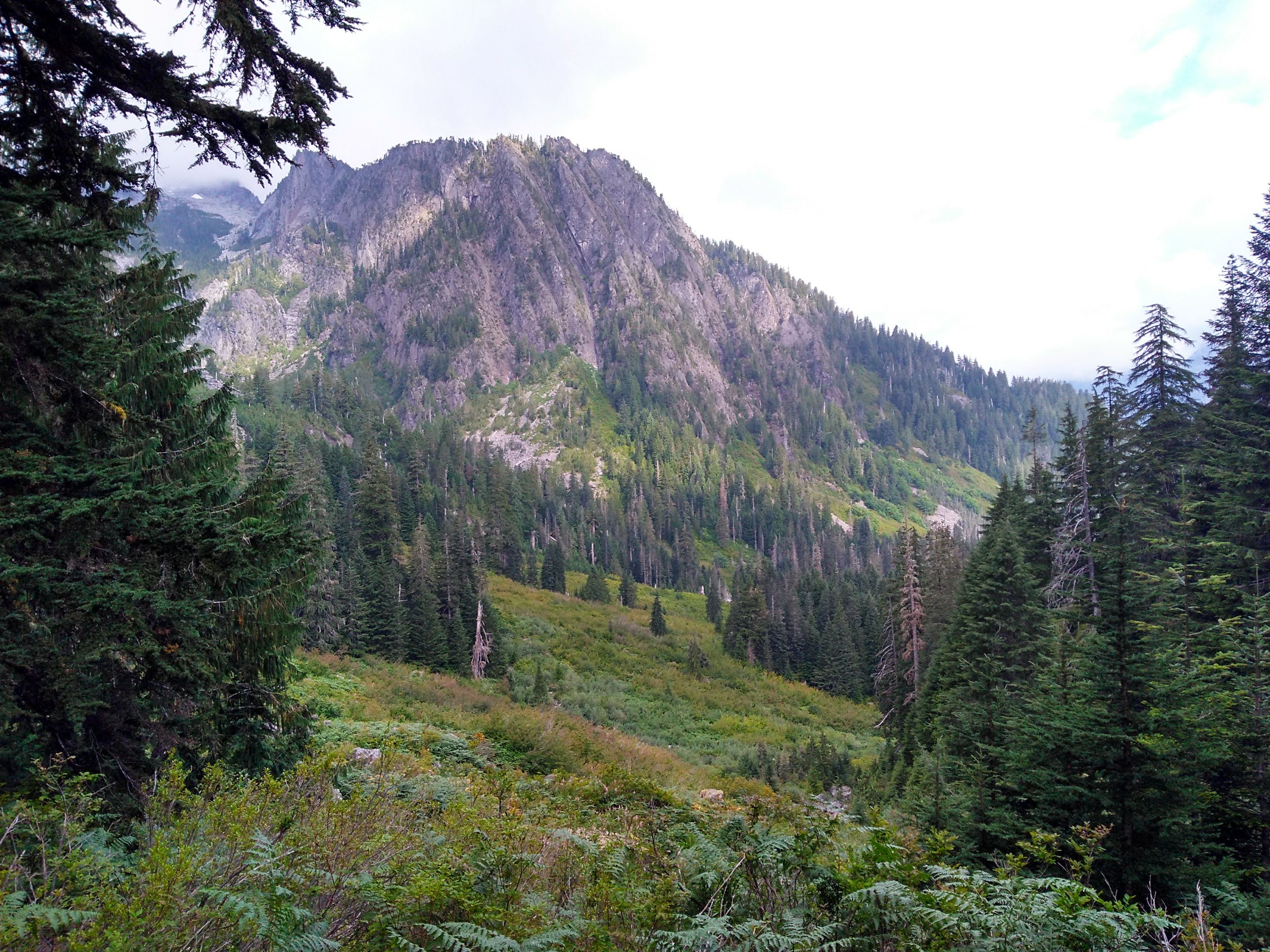
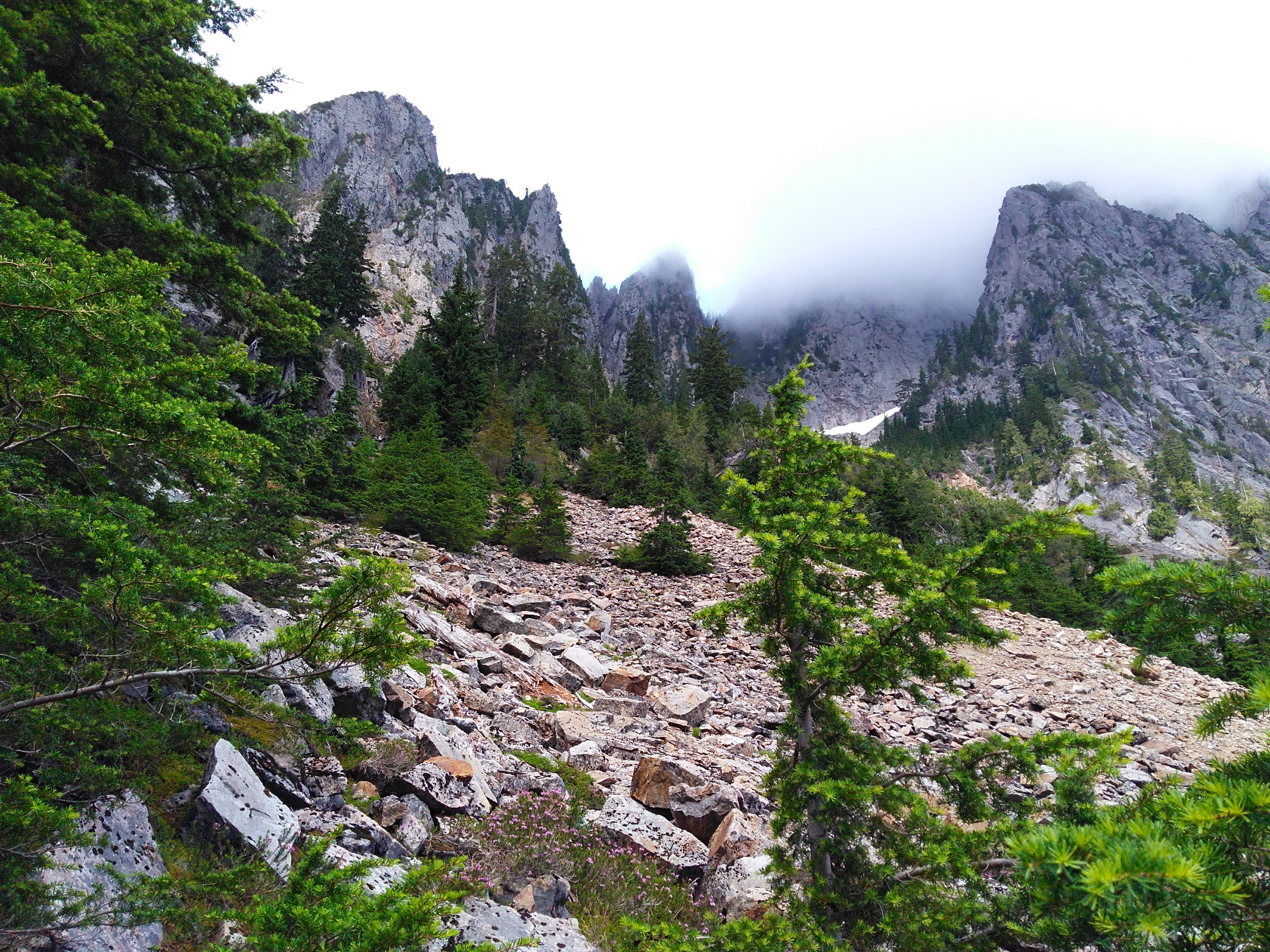
Eventually the trail turned into a treeless alpine meadow…
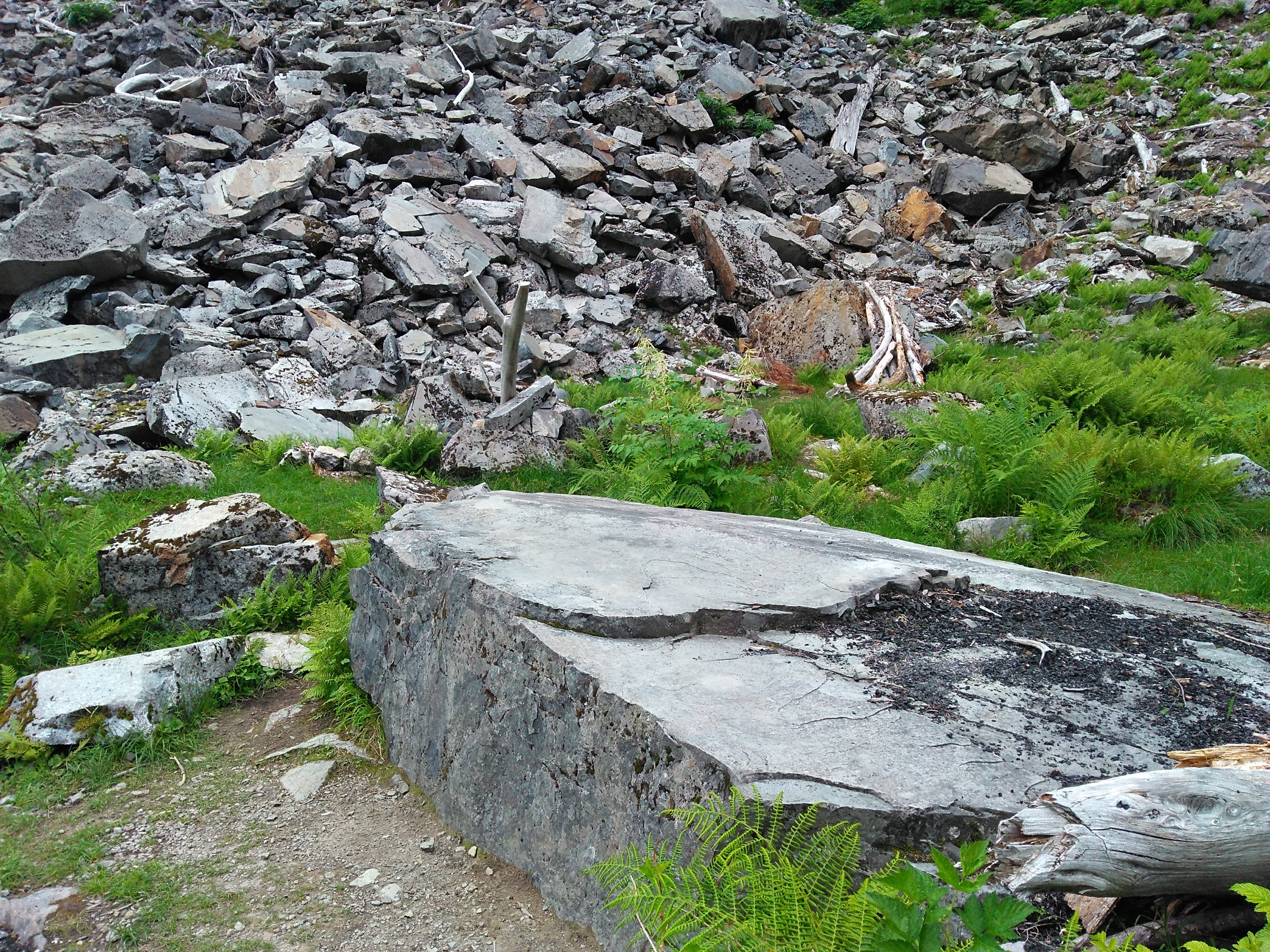
…and then into a talus field. The transition was marked by this cute campsite:
 Kovas trying to find which switchback is the last one, so we could break off. Don’t
worry, you still have a ways to go.
Kovas trying to find which switchback is the last one, so we could break off. Don’t
worry, you still have a ways to go.
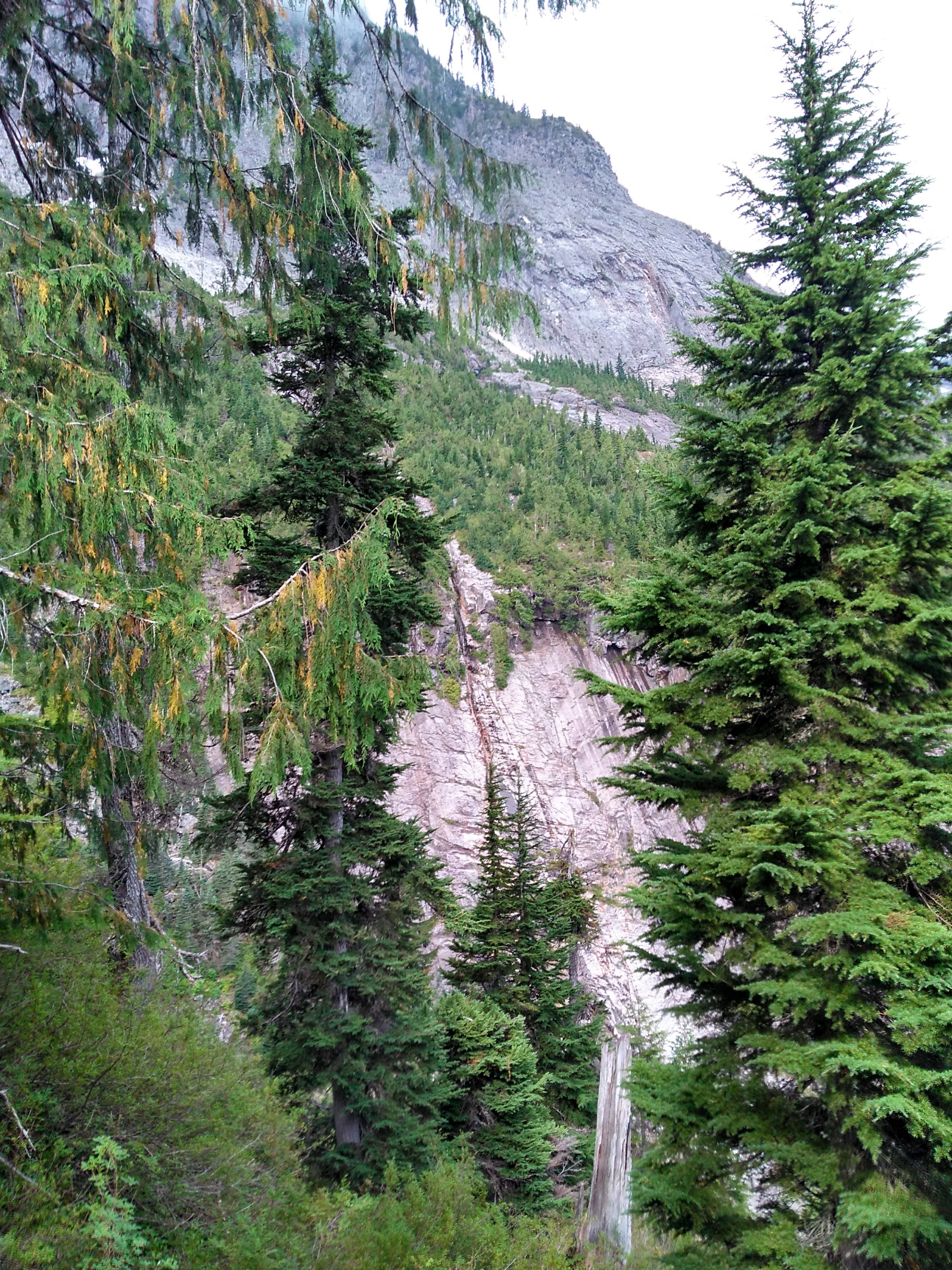
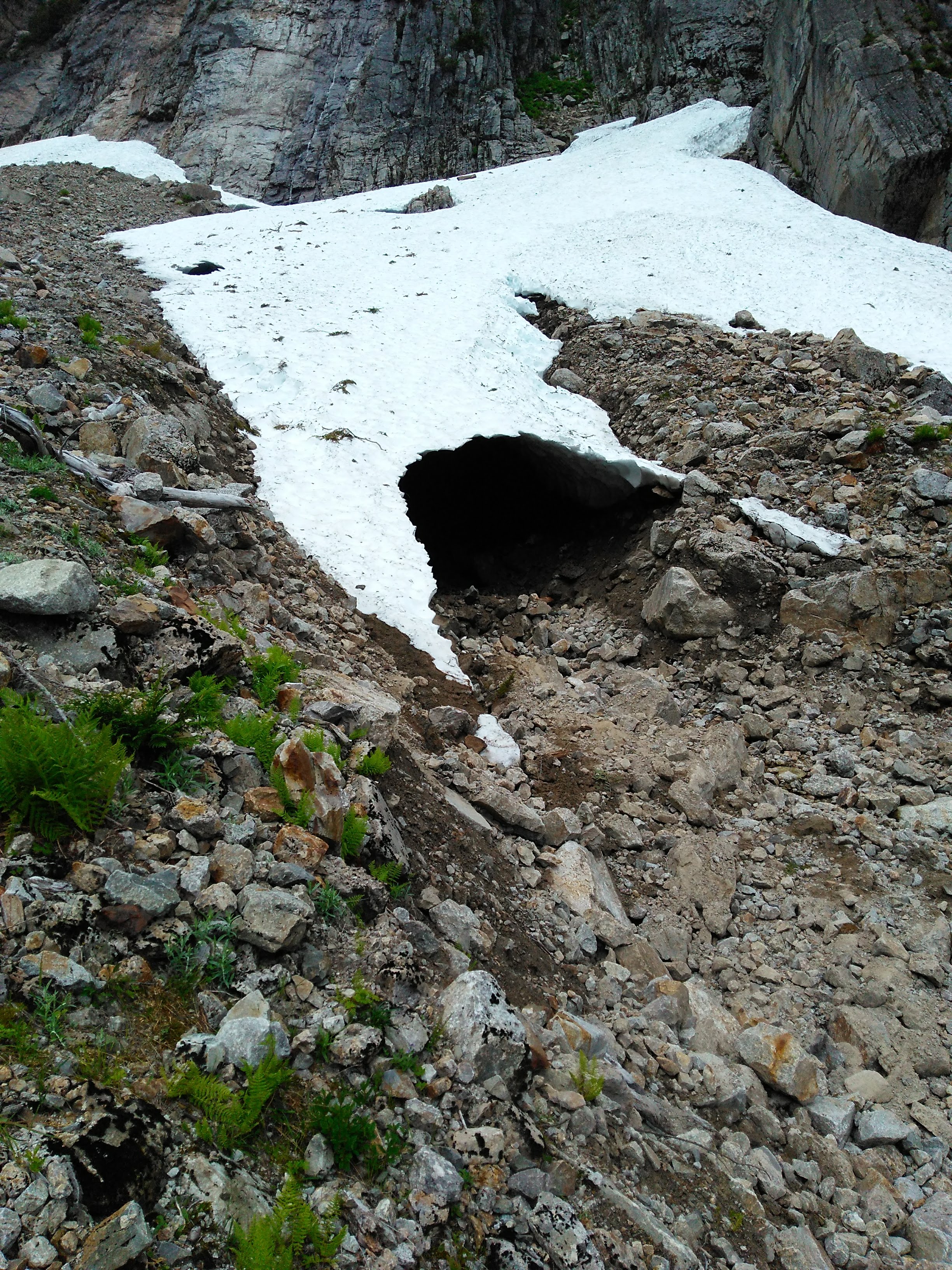
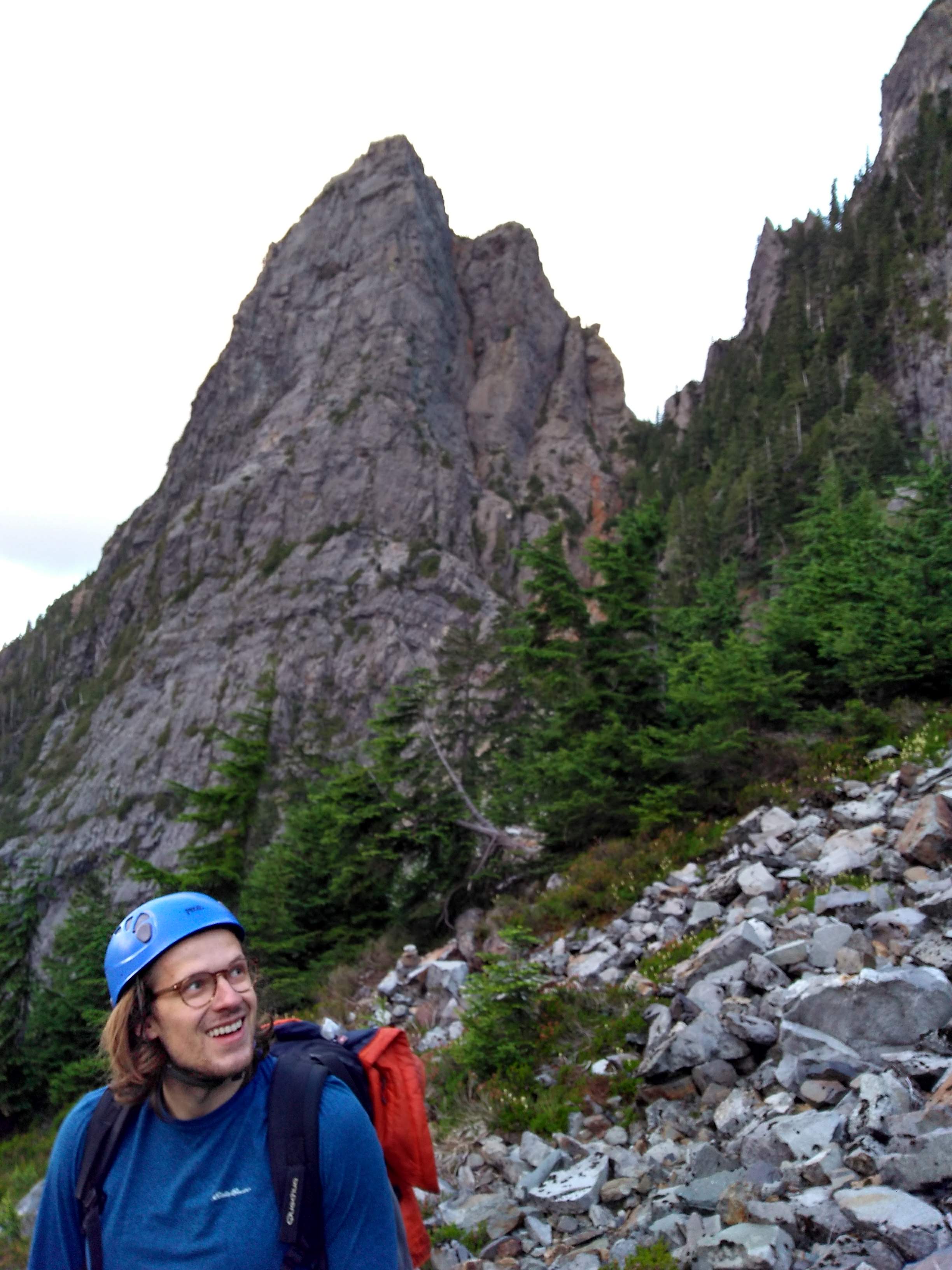
A short ways up we saw this ice cave, reminiscent of the Big Four Ice caves we visited the previous day:
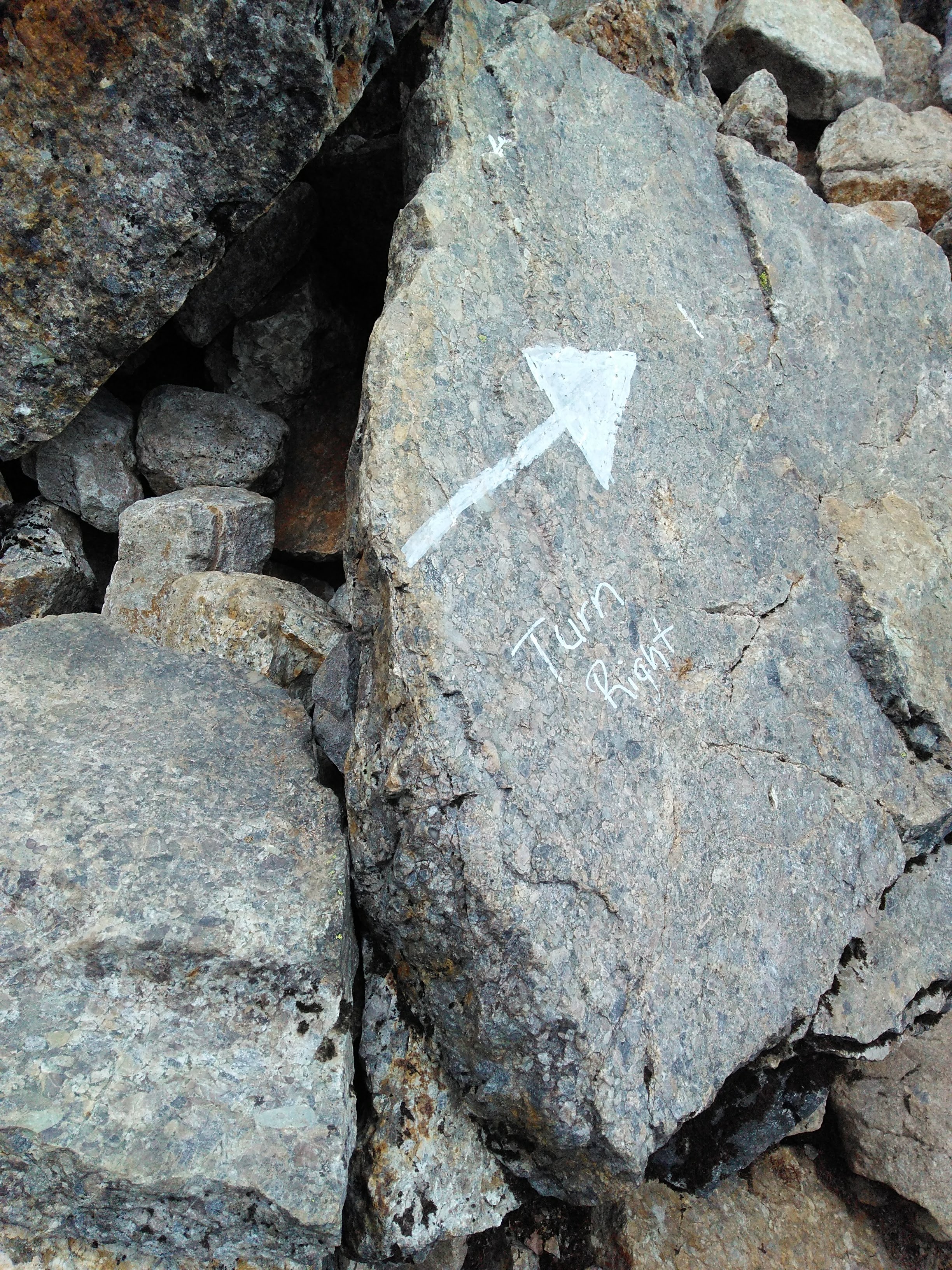
On the talus, the trail became hard to follow, and we lost it on our way up. We knew we had to leave the trail at some point, but were not sure which direction. On the Mountain Project guide there were directions to break off before the last set of switchbacks. But because we didn’t have a map, we didn’t know when the last set were. Luckily we eventually found this trail marker, which marked our fork left, with the pass trail going right. This whole process led to a lot of confusion on the approach, and likely added 30 minutes to it.
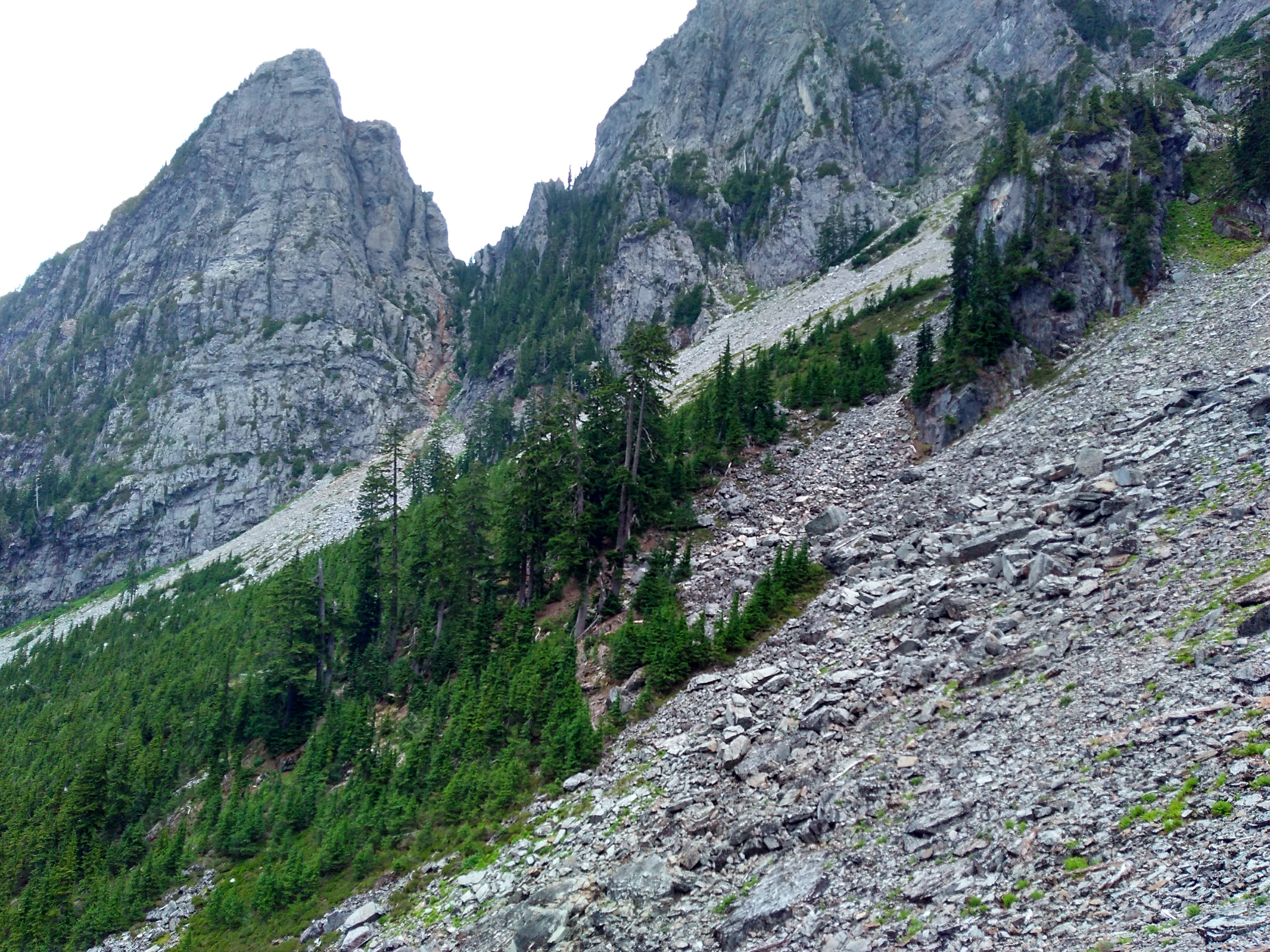
 A view from much higher up that shows the switchback clearly.
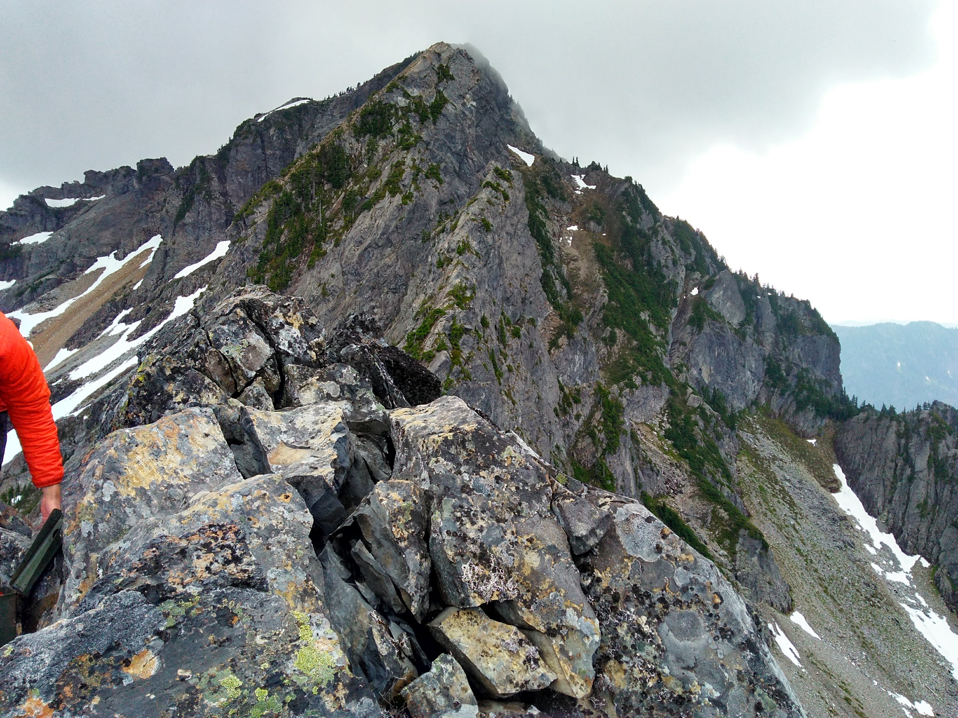
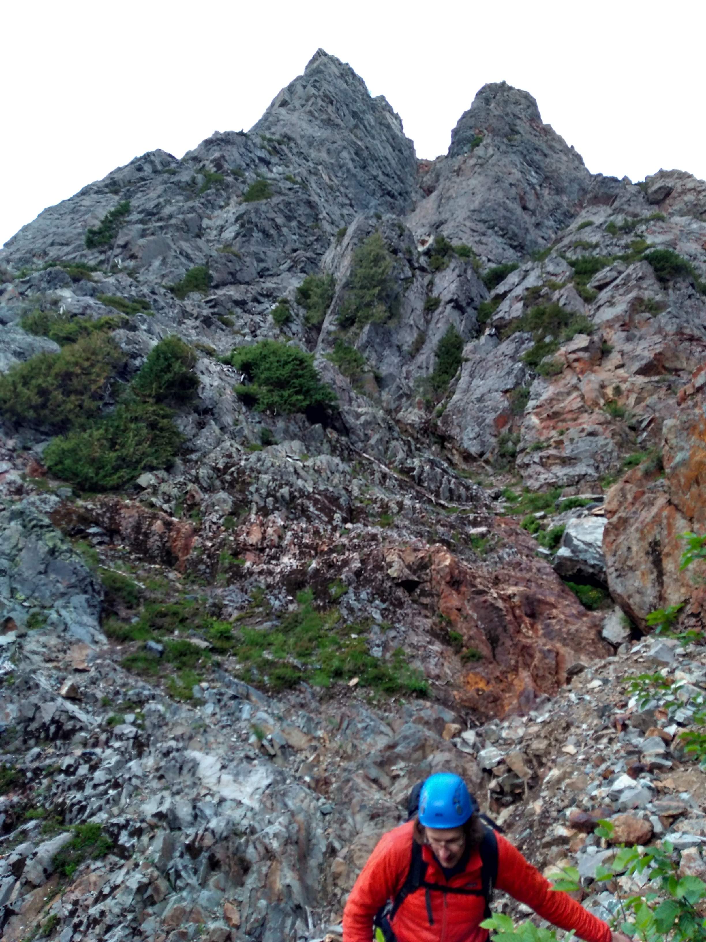
After finding our turn off, it still embarrassingly took us a bit to disambiguate which of the peaks we were actually planning to climb…
…but we found it eventually!
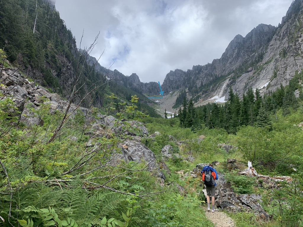
As we closed in on the peak the Mountain Project description for how to approach got a lot clearer, as did the pass tail with its many switchbacks.
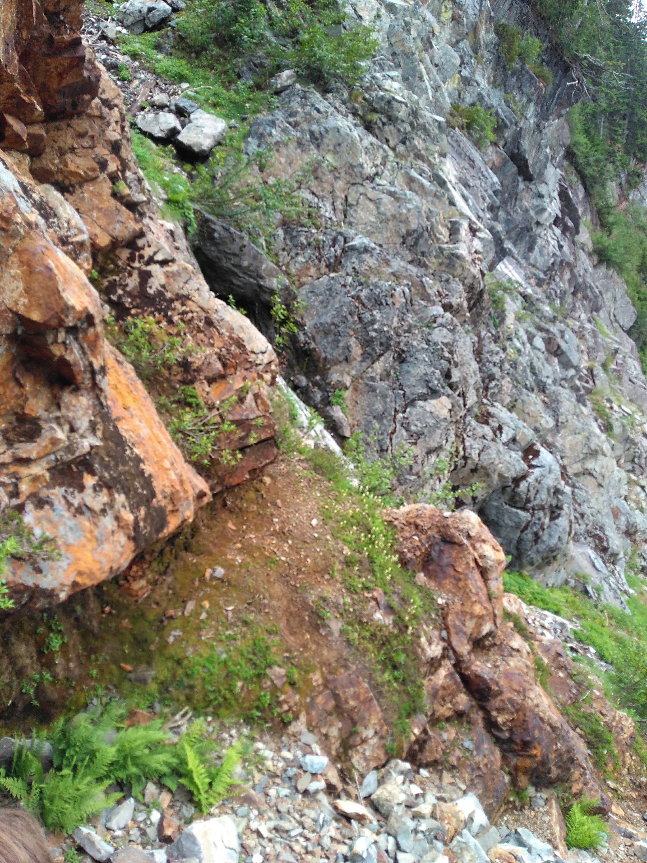
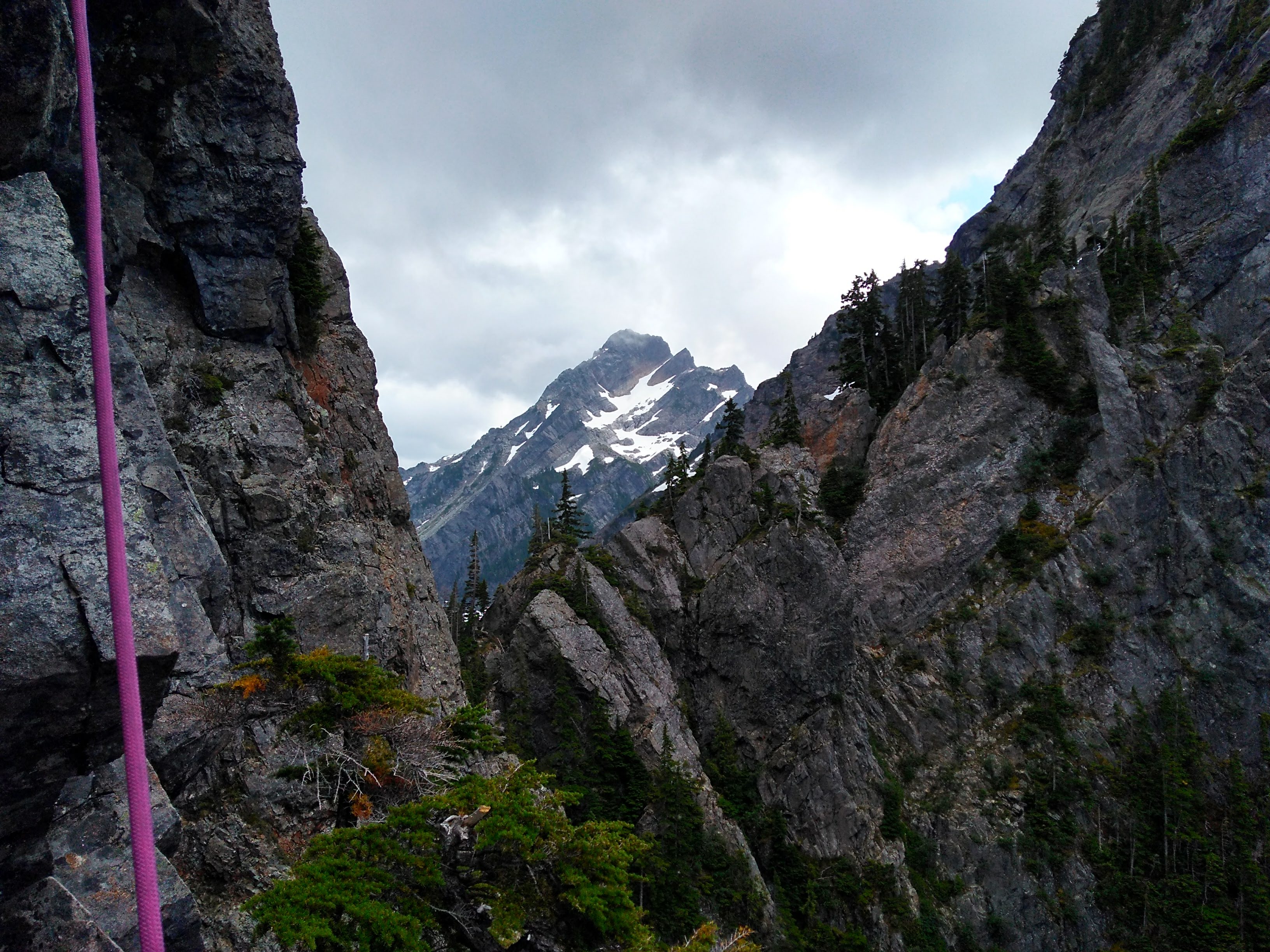
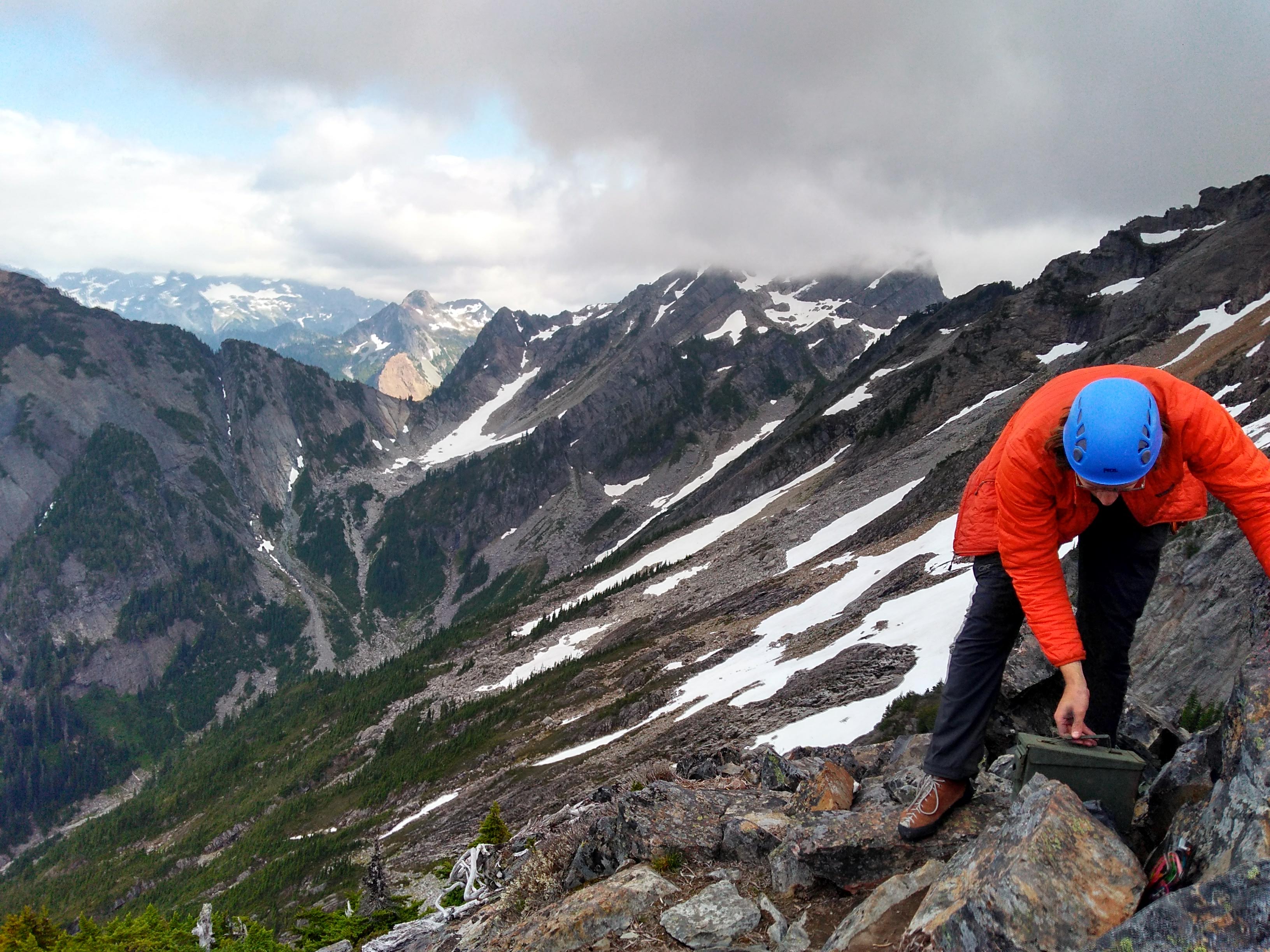
This reddish colored rock with a slight trickle of water marked the end of our hike and the start of our climb. We stopped here briefly for our last banana+bread wraps, left our bag on a ledge, and continued up! Our climb started at around noon; we lost some time on the approach pathfinding.
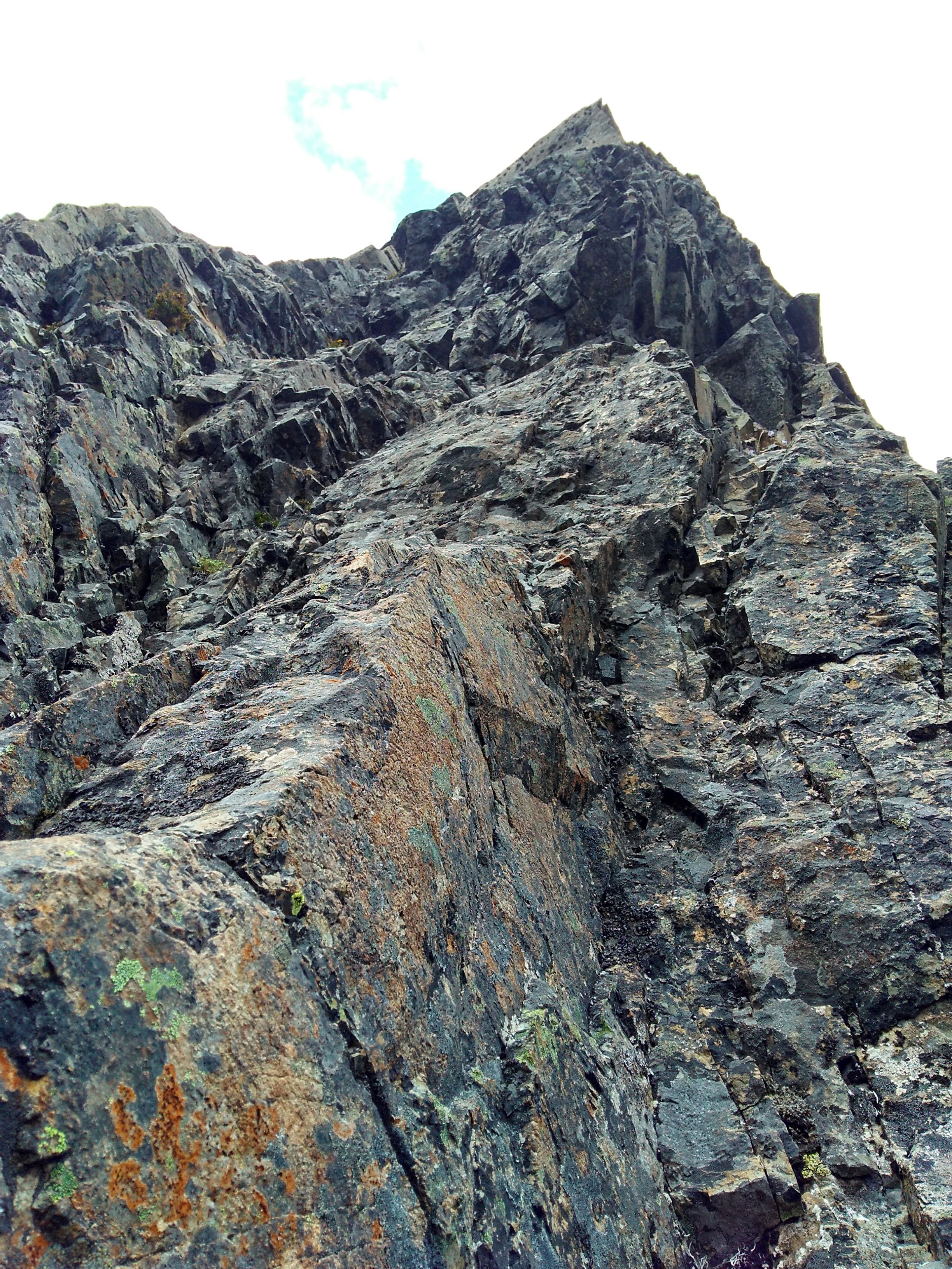
The climb up was very easy to track both by scanning for the bright, new bolts and referencing the Mountain Project description. The first pitch had a very obvious start, with three close bolts through a slightly overhanging juggy start. It was a bit intimidating as a first lead, but quickly confidence boosting as I realized the moves were actually quite natural.
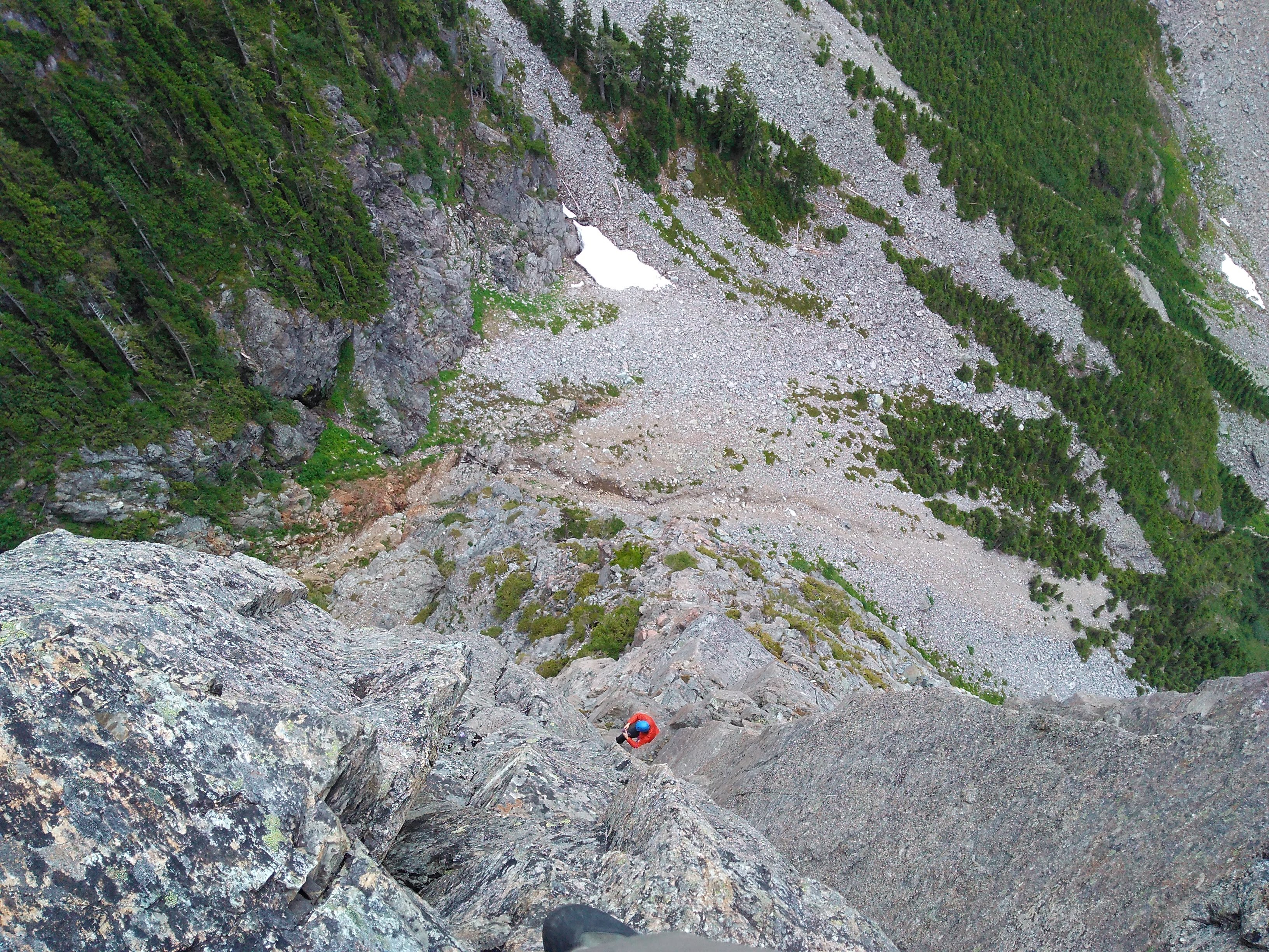
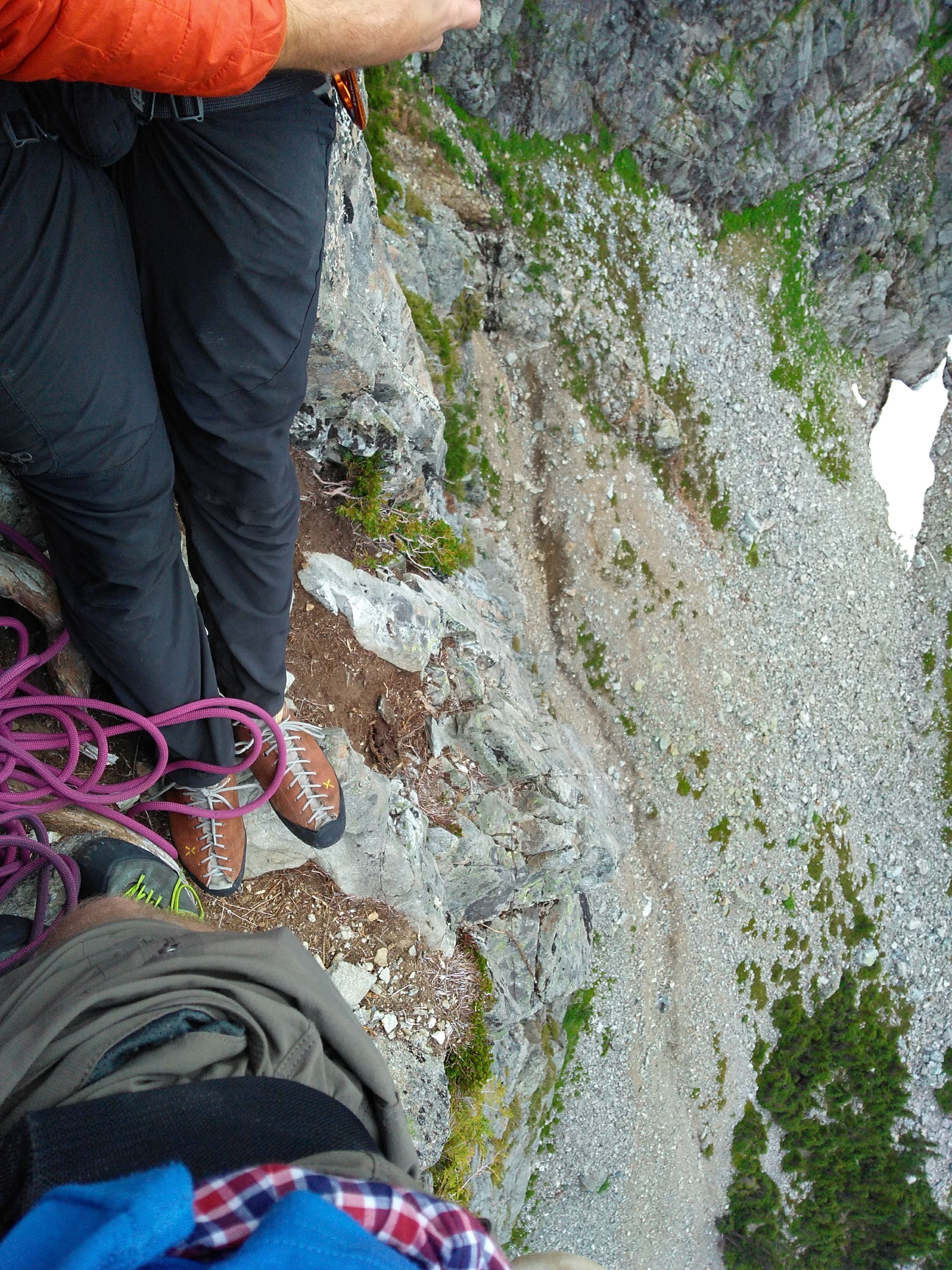 Looking down from the first belay.
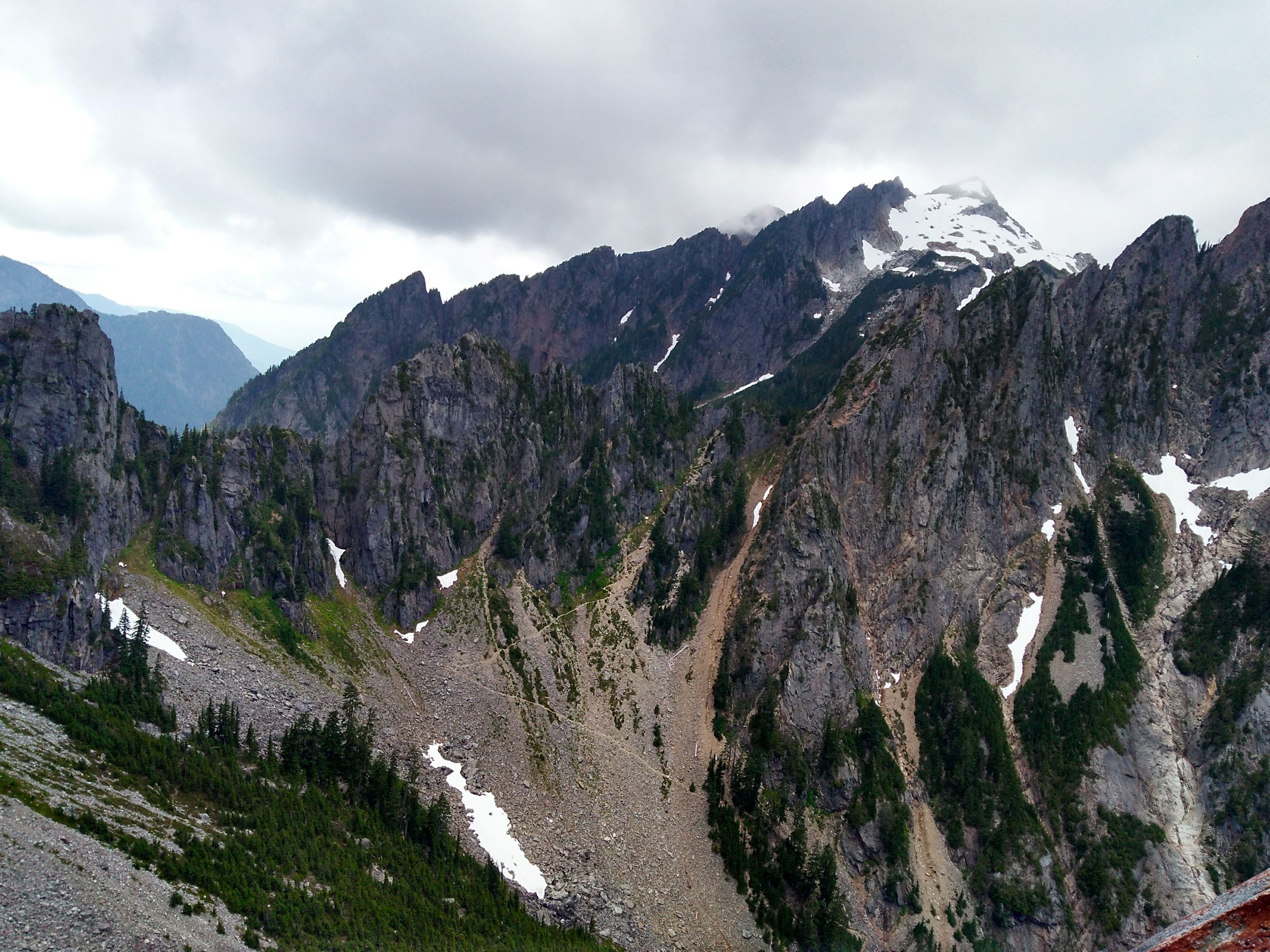
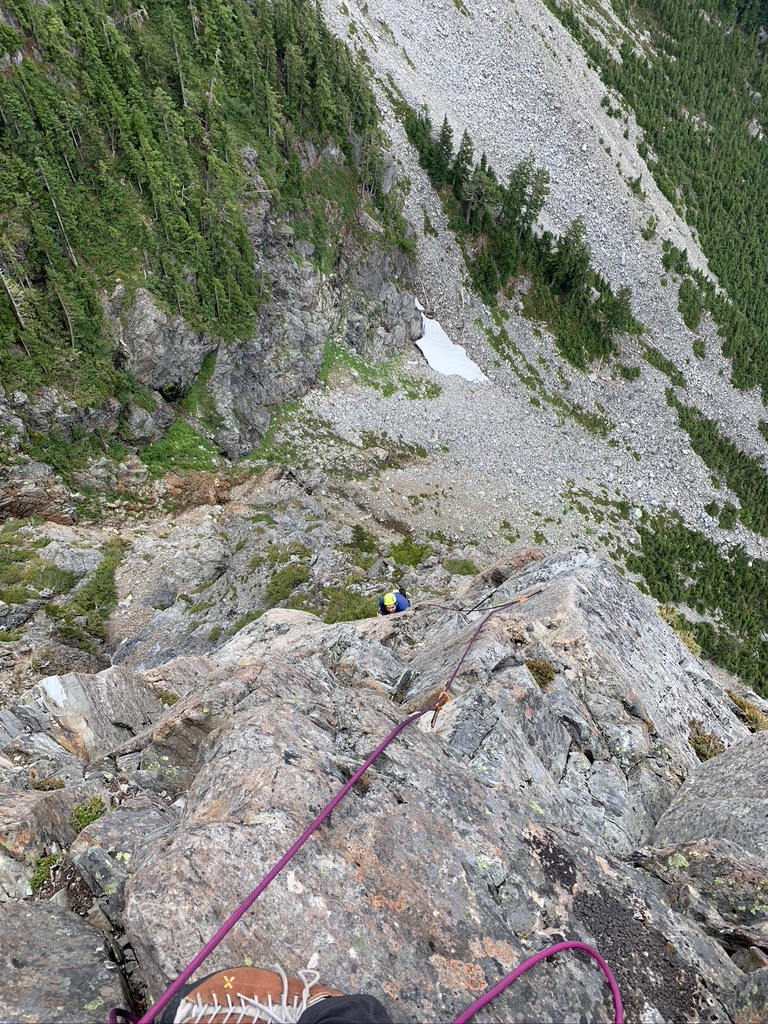
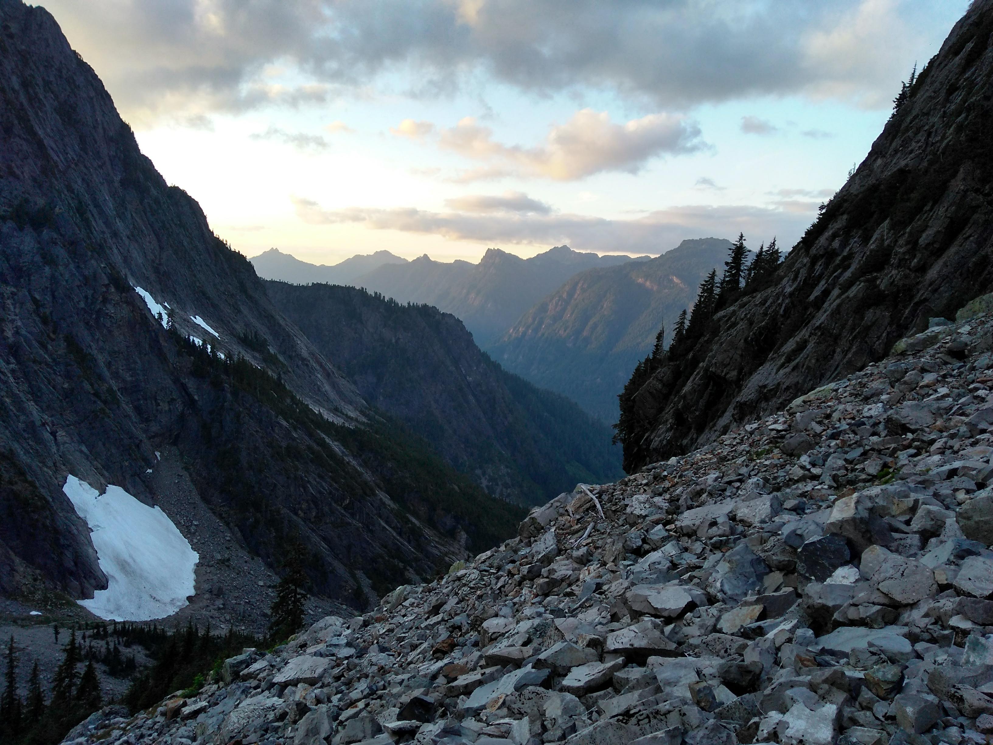
The second pitch was more relaxed, and the third, long, pitch had a couple sections of hiking-with-a-rope. The views were beautiful the whole way.
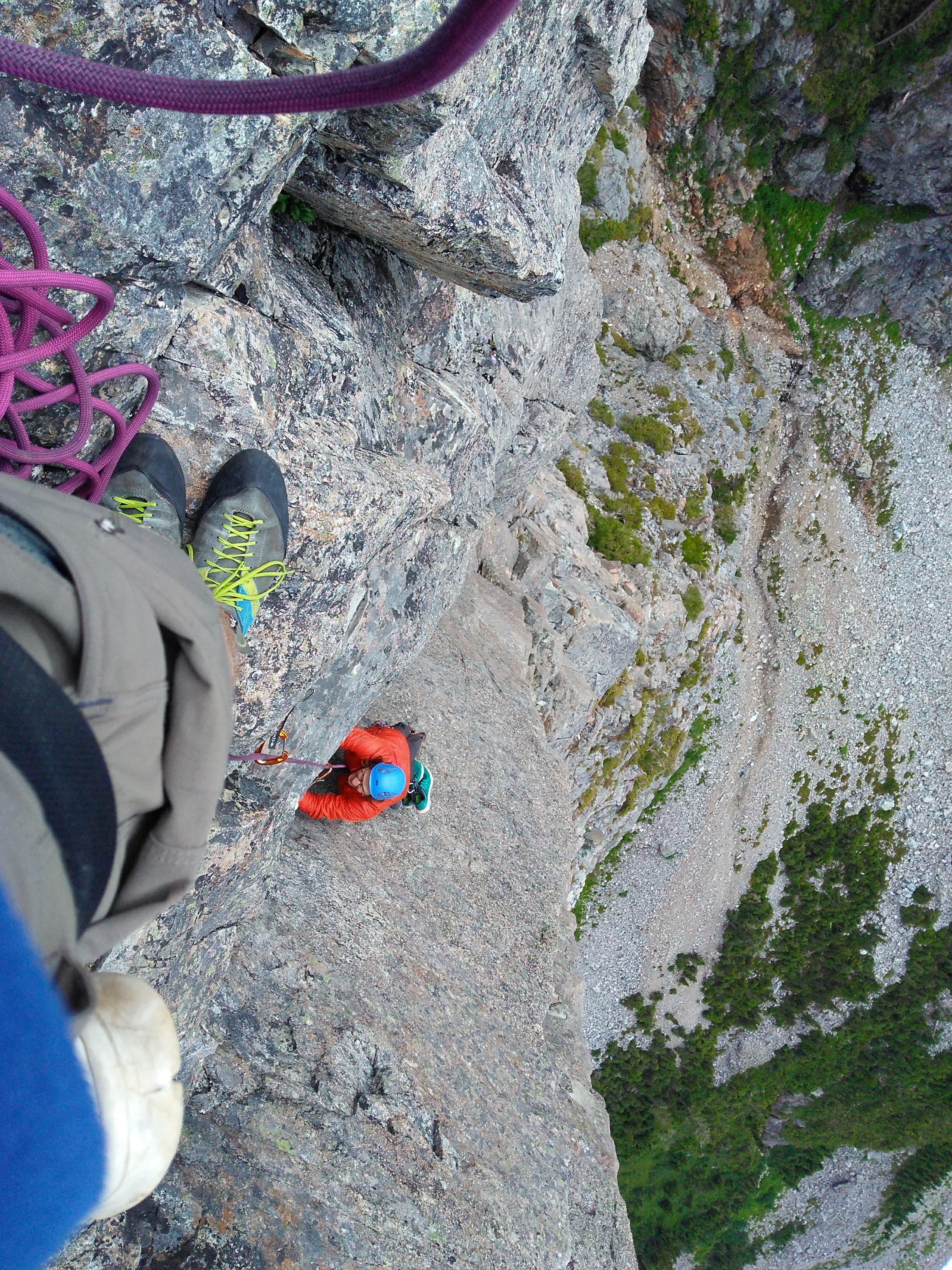
 Matthew starting up pitch 4 or 5.
 Kovas starting up pitch 4 or 5.
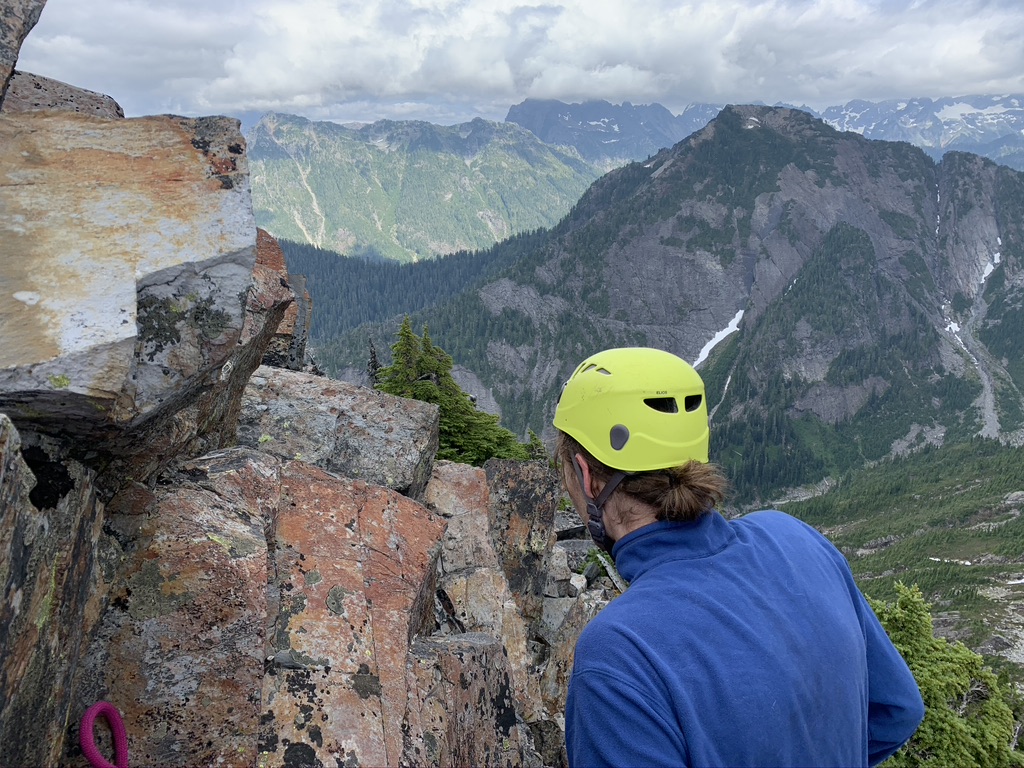
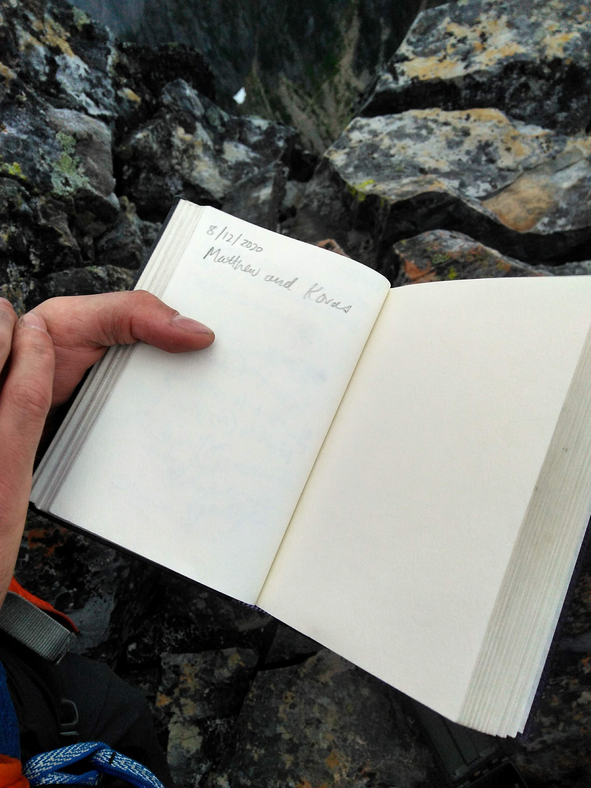
The summit!?
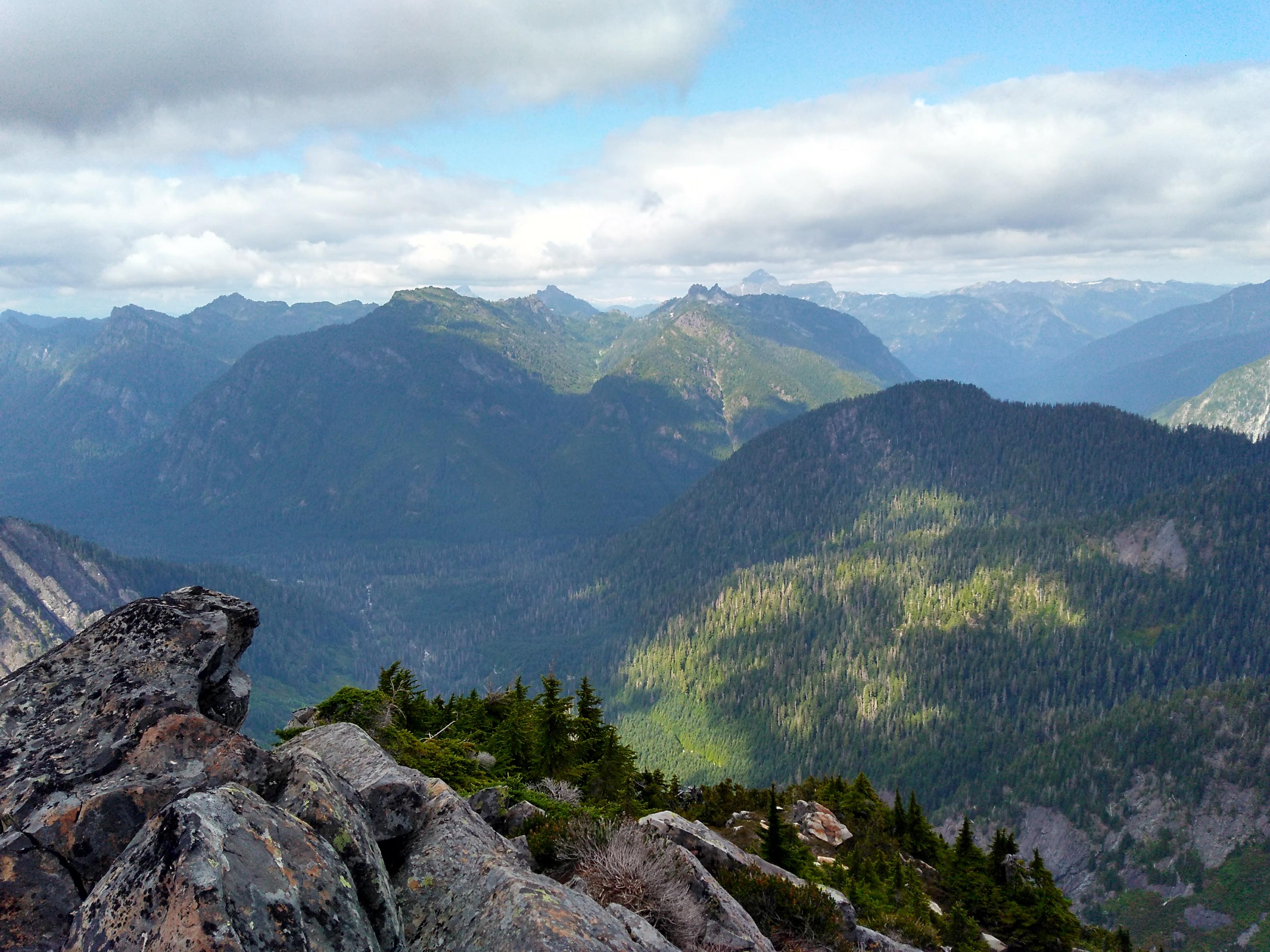
Looking back at the switchbacked pass trail from a better vantage.
We reached the summit at around 4pm (behind schedule), but were treated with an amazing view anyway : ).
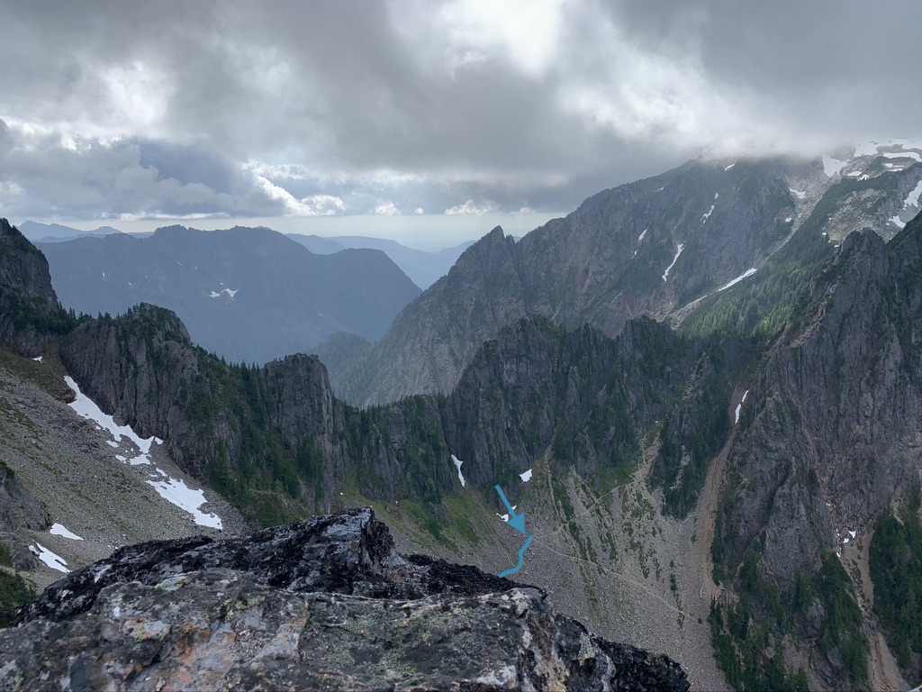
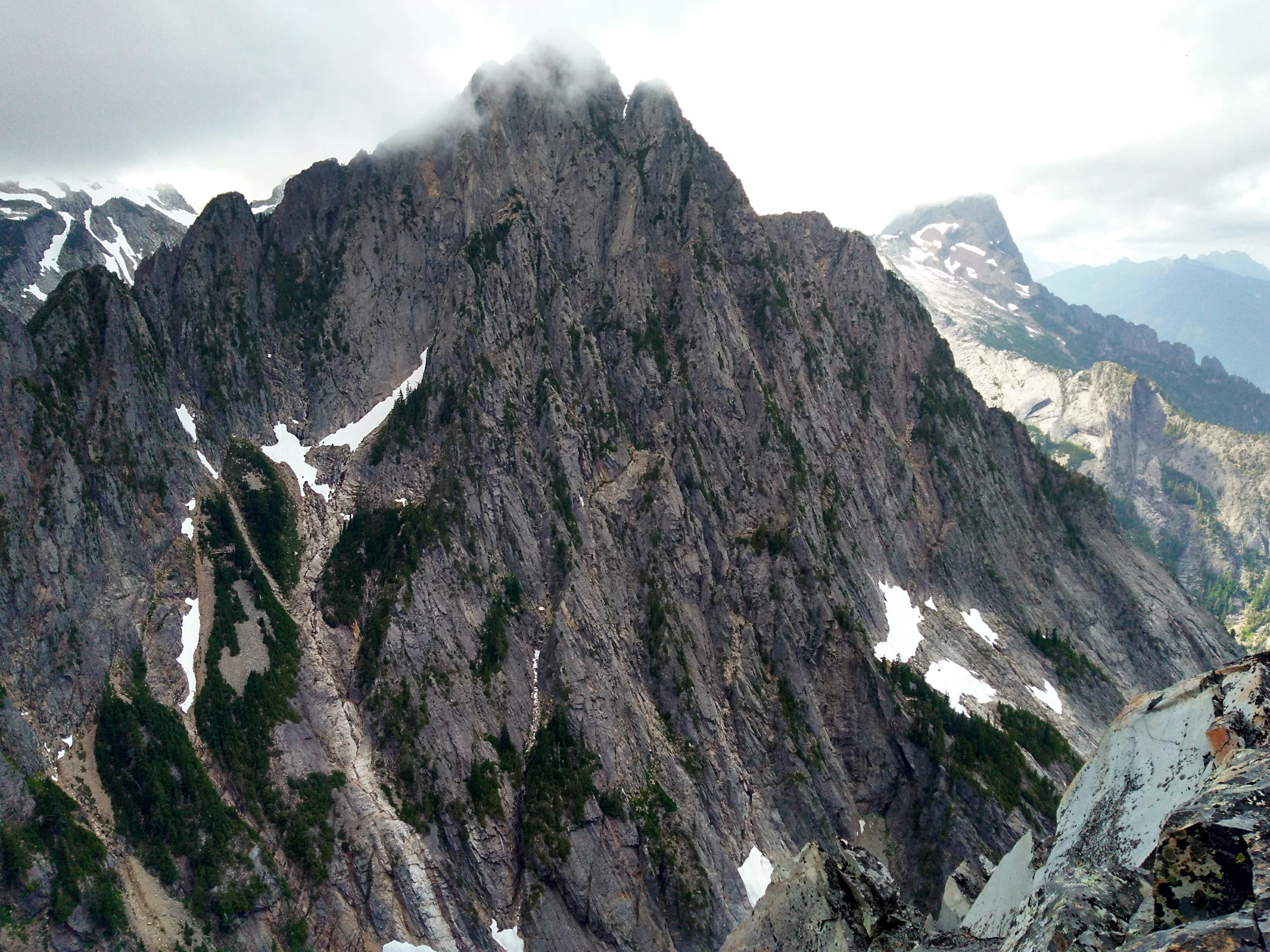
 Looking over into the next valley. The snow reminded me of the lava flows in
the Lord of the Rings films. I wonder if they shot those scenes by just
recoloring snow?
Looking over into the next valley. The snow reminded me of the lava flows in
the Lord of the Rings films. I wonder if they shot those scenes by just
recoloring snow?
 Official! Funnily enough some of our friends from the UW IMA had just
summited a week before.
Official! Funnily enough some of our friends from the UW IMA had just
summited a week before.
Rappelling down was met with some trickiness at first; our first rope through went a bit off route and we needed to find our way back kinda awkwardly. The next couple rappels were very straightforward, until we got to pitch 3.
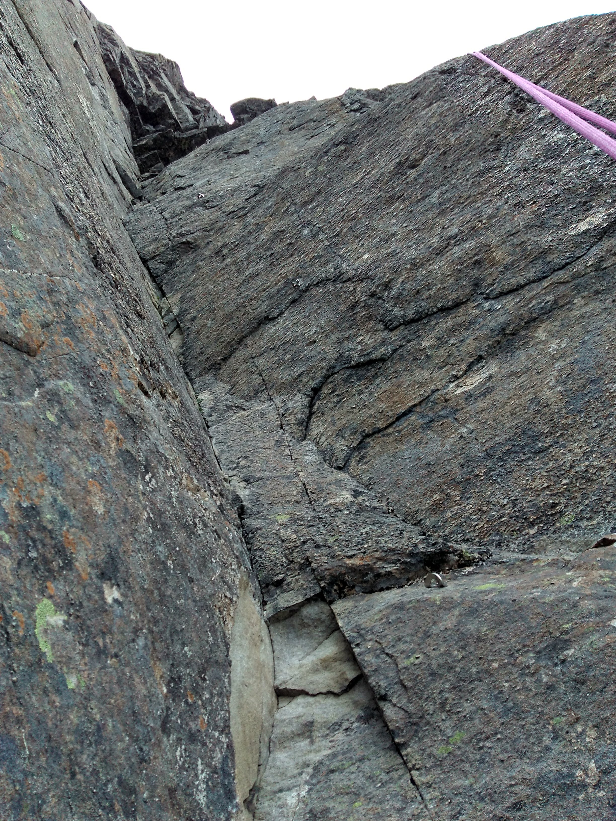
Firstly, this pitch was very long to rappel. I remember having to daisy-chain some quickdraws together in order to keep a hold of both rope ends, but still couldn’t make it all the way to the anchors. Instead I had to stop at this tree with a sling around it (perhaps others had the same issue).

Once Matthew had also rappelled down, we decided to pull the rope through and belay each other off the tree as we walked down to the ~20ft away anchors. This is where we ran into another snag:
So far, I had been rappelling down the climb with this technique:
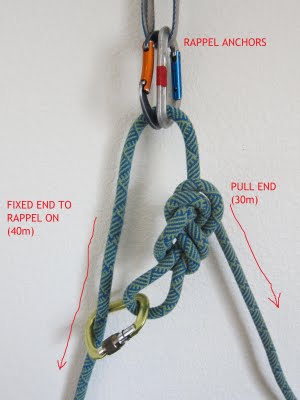 Image source: https://ropeandsummit.wordpress.com/technique/belaying-rappeling/
This allowed me to use my GriGri for a more comfortable and safer rappel. Unfortunately, this method had the before unforseen drawback of making it much easier for the rope to get stuck in constrictions when pulling it through. This is exactly what happened when pulling our rope through on this pitch. Our knot got stuck about 5 feet from the upper anchor, and no amount of wiggling and pulling would set it free!
Very very luckily, the other end of the rope was still in reach. I was able to grab it, pull it down, attach my GriGri, and then part climb/part jug up the whole climb back to the anchors. I noticed a clear spot where the knot had gotten stuck. I am extremely grateful that this spot was not further down the climb; had we not been able to use the other rope end to climb up we would have been very stuck. I then set up a more traditional rappel, rappelled down, and pulled the rope with no issues.
This extra “climb” burned even more time, and now we were very eager to make a hasty descent. We quickly finished the rest of our rappels and started scrambling back to the trail over the talus fields.
By the time we had reached the trail proper, the sun was already (beautifully) setting.
With the solid trail beneath our feet, we started moving faster, breaking almost into a jog as the trail got flatter. On the way down, we passed a very tired, but very chilled out family hiking up on a backpacking trip. Their calming influence was very welcome.
Once we had made it into the forest, we had to pull out our phone flashlights, as it was now completely dark. We managed to do this part of the trail in record time, only getting lost a bit on the largest river crossing. Luckily we were both able to quickly retrace our steps and re-locate the trail on the other side of the river without too much more time.
We got to the car around 9:30pm and drove as quickly as we could to get back to our campsite just after they closed at 10pm. The gatekeeper took pity on us and let us in without a fine or any other trouble. Our fellow campers were pretty worried about us though. Reflecting back on our botch rappel this trip made me realize that I really want to either have cell service or a satellite communication device the next time I go on a trip like this.
Besides our rushed finish, this climb was truly spectacular. It was also a great sport -> alpine climbing introduction. I wouldn’t go so far as to call it “pleasure climbing” like a roped soloer we met two days before at Mt. Erie called it, but it was a really cool alpine climbing experience. Just make sure you give yourself enough time!
Categories: Climbing, Event Reports